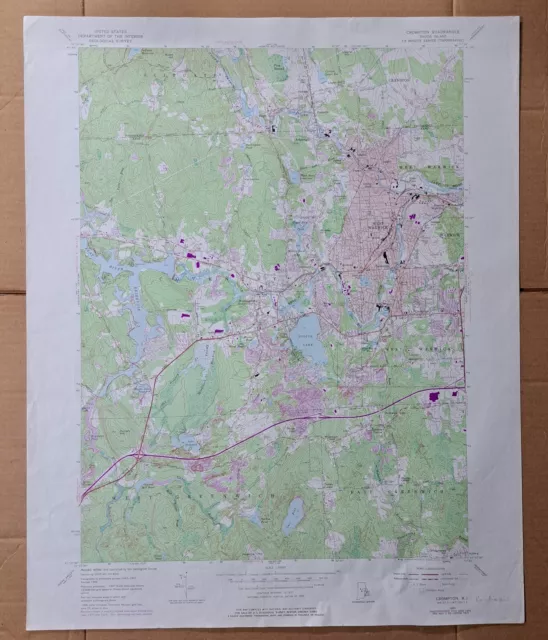
Crompton Rhode Island 1972 Original Vintage USGS Topo Map
$48.13 Buy It Now, Click to see shipping cost, 30-Day Returns, eBay Money Back Guarantee
Seller: oldtopomaps ✉️ (329) 100%,
Location: Dover, New Hampshire, US,
Ships to: US & many other countries,
Item: 123714793393
Crompton Rhode Island 1972 Original Vintage USGS Topo Map.
Crompton Quadrangle Rhode Island- 7.5 Minute Series
Crompton Quadrangle Rhode Island- 7.5 Minute Series
Published by the United States Geological Survey
Year Published: 1972
Edition Year: 1955
Places: Washington, West Warwick
Water Bodies: Black Rock Reservoir, Burlingame Pond, Capwell Millpond, Carr Pond, Flat River Reservoir, Flat Top Pond, John L Curran Lower Reservoir, Maple Root Pond, Matteson Pond, Mishnock Swamp, Pawtuxet River, Pawtuxet River-South Branch, Phelps Pond, Potowomut River, Reynolds Pond, Scituate Reservoir, South Branch Pawtuxet River, Sweet Pond, Tarbox Pond, Tiogue Lake, Upper Dam Pond
Map may have red institutional rubber stamp and/or writing in the margin - please see the photograph. The map in the photo is the actual map you will receive. Map sheet measures approximately 22 X 27 inches.
All maps we sell are original USGS topographic maps, printed in the year stated in the title. We do not sell reproductions. Maps are shipped rolled up in a sturdy tube.
[11427]
- Publication Year: 1972
- US State: Rhode Island
- Original/Reproduction: Vintage Original
PicClick Insights - Crompton Rhode Island 1972 Original Vintage USGS Topo Map PicClick Exclusive
- Popularity - 0 watchers, 0.0 new watchers per day, 1,845 days for sale on eBay. 0 sold, 1 available.
- Best Price -
- Seller - 329+ items sold. 0% negative feedback. Great seller with very good positive feedback and over 50 ratings.
People Also Loved PicClick Exclusive

Wickford Rhode Island 1972 Original Vintage USGS Topo Map
$34.95 Buy It Now 13d 13h
Providence Rhode Island 1972 Original Vintage USGS Topo Map
$39.95 Buy It Now 21d 16h
Blalock Island Washington 1972 Original Vintage USGS Topo Map
$34.95 Buy It Now 14d 14h
Shellman, Georgia 1972 Original Vintage USGS Topo Map
$19.95 Buy It Now 18d 8h
Parrott, Georgia 1972 Original Vintage USGS Topo Map
$19.95 Buy It Now 17d 12h 1 watcher
Crompton Rhode Island 1977 Original Vintage USGS Topo Map
$48.13 Buy It Now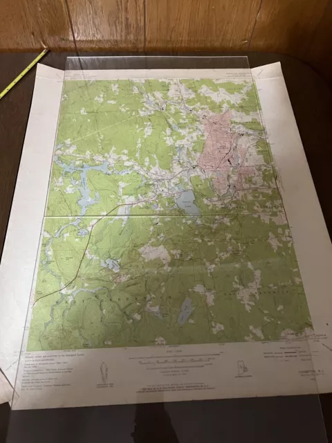
 vintage rhode island topo map Crompton RI 1955 Geological Survey
$27.53$23.40 Buy It Now or Best Offer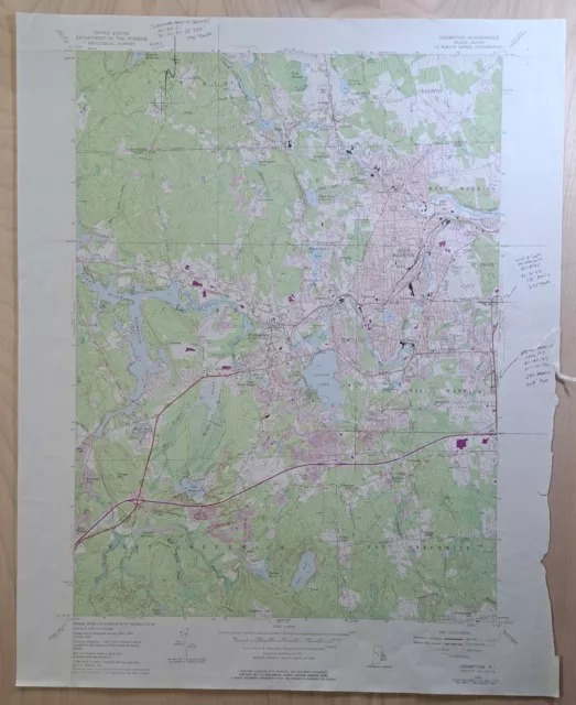
 Crompton Quad, RI Coventry East Greenwich 7.5 ser. VTG USGS Topo Map 1975$27.27 Buy It Now or Best Offer
 Crompton Quad, RI Coventry Greenwich Tiogue Lake 7.5 ser. VTG USGS Topo Map 1975$41.04 Buy It Now or Best Offer
