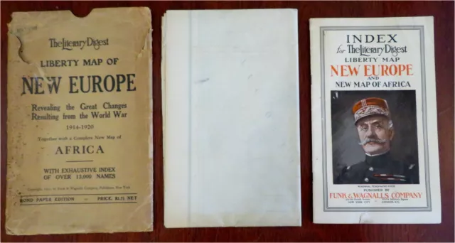
Post World War I Europe & Africa 1920 large 4' folding map w/ index & envelope
Post World War I Europe & Africa 1920 large 4' folding map w/ index & envelope
(Old Maps, Early 20th Century Maps, World War I, Europe, Africa). The Literary Digest Liberty Map of New Europe, Revealing the Great Changes Resulting from the World War, 1914-1920, Together with a Complete New Map of Africa, with Exhaustive Index of Over 13,000 Names - Bond Paper Edition. Published 1920, New York by Funk & Wagnalls Company. Large folding map printed on bond paper. Includes 44 page index and original paper envelope. Text in English.
Publisher's pictorial paper wrappers. A huge transitional map, over four feet wide. Overprinted to show political boundaries that were changed and adjusted after WW I ended.
Lot is physically old and shows some signs of handling and time. Lot is not new or in "new" condition. Bindings gently age worn, mostly light signs of handling and time but nothing offensive or severe, book remains overall attractive as an object. Paper is gently toned, internally still clean, tight, sound internally.
Still attractive on the shelf. The book displays a pleasing and unique age patina and is in overall nice antiquarian condition, any age flaws which may be present seem easy to overlook or forgive.
Please review photos for more detail showing how this book survives. The asking price reflects the condition based on our examination and 35+ years full time exposure to antiquarian books, maps and printed ephemera of all types and genres. Flaws seen and/ or described have been taken into account.
Envelope Measures c. 11" H x 7" W. Book Measures c. 10" H x 6" W.
[B5812].
- Condition: Interesting antiquarian map which remains worthy of ownership despite any flaws described or seen in pics. Please review images and description for details.
PicClick Insights - Post World War I Europe & Africa 1920 large 4' folding map w/ index & envelope PicClick Exclusive
- Popularity - 3 watchers, 0.0 new watchers per day, 711 days for sale on eBay. High amount watching. 0 sold, 1 available.
- Best Price -
- Seller - 12,011+ items sold. 0% negative feedback. Top-Rated Plus! Top-Rated Seller, 30-day return policy, ships in 1 business day with tracking.
People Also Loved PicClick Exclusive

Personal Memoirs of U. S. Grant Vol. 1 Ulysses S Grant 1885 HC Volume 1 1st ED
$85.00 Buy It Now 30d 5h
Nouveau Petit Larousse Illustre' - 1927 - Antique French Encyclopaedia Book
$49.58 Buy It Now 12d 5h
1898 Eastern Journeys: Notes of Travel in Russia Caucasus Jerusalem Charles Dana
$49.00 Buy It Now 12d 5h
A HISTORY OF THE CIVIL WAR by Benson Lossing Pub by War Memorial Assoc 1912
$295.00 Buy It Now 27d 21h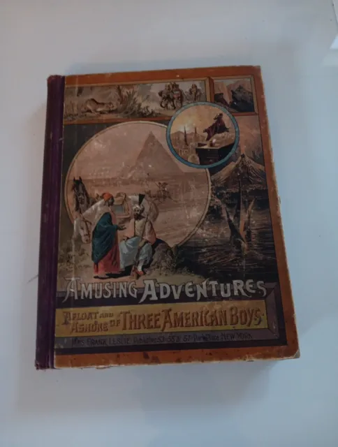
Amusing Adventures Afloat and Ashore, of Three American Boys 1886 300 engravings
$49.99 Buy It Now 13d 20h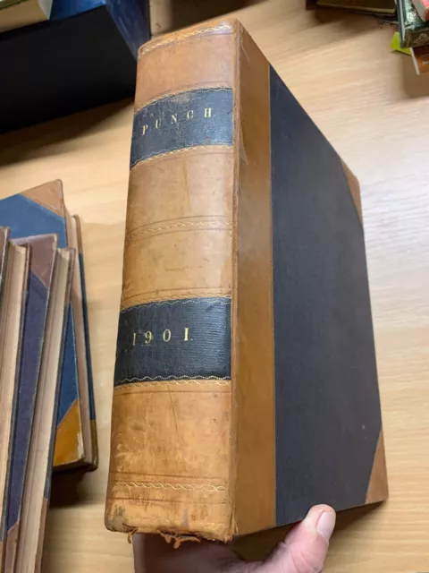
1901 PUNCH MAGAZINE BOUND VOLUMES HEAVY 2.8kg LEATHER ANTIQUE BOOK (P14)
$75.27 Buy It Now 25d 2h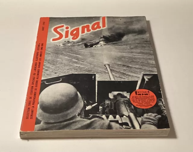
SIGNAL Magazine Selection German War Propaganda WWII WW2 1940-1945 French Editio
$77.77 Buy It Now 16d 5h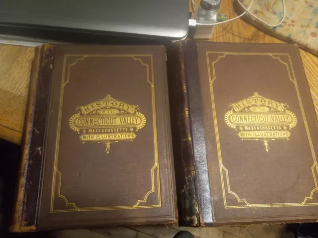
History Of The Connecticut Valley In Massachusetts 1879 Big! Illust. 2 Vol. Set
$120.00 Buy It Now 5d 5h
Antique Map Original 1855 America Brazil Map Geography RAR
$68.81 Buy It Now 17d 14h
Antique Historical Atlas Book Color World Maps America Europe Asia Africa 1915
$55.79 Buy It Now 7d 20h
Old CIVIL WAR THE SERGEANT'S MEMORIAL Book 1864 SOLDIER DEATH NEW YORK REGIMENT
$13.25 7 Bids 1d 3h
The Triumphs Of Archaeology In Bible Lands 1953 .Rare. Very Nice Condition
$39.99 Buy It Now 25d 20h
Picturesque Russia and Greece Leo de Colange Estes & Lauriet 1886 History HC
$75.00 Buy It Now 27d 21h
Ancient Art Of The Mediterranean World & Ancient Coins NAAG Auction Cat No 7 ‘91
$8.78 Buy It Now 15d 10h
1892 Across Thibet Bonvalot Fine Binding Illustrated Map 1St Us Edition Tibet
$124.99 Buy It Now 16h 16m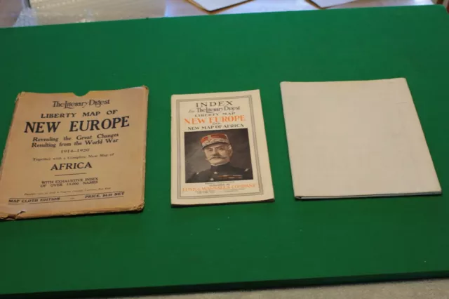
Liberty Map of New Europe + Africa and Index - Great Changes from WW1 1914-1920
$99.00 Buy It Now 14d 19h
A Medieval Illuminated Bestiary. Facsimile Edition. With English Summary.
$73.90 Buy It Now 12d 21h
WWI Era Map - "War Map of the Entire Western Front in Europe" - WWI History
$45.00 Buy It Now 4d 19h
Personal Memoirs Of General P. H. Sheridan - Brand New - Civil War 2 Volume Set
$50.00 Buy It Now 29d 0h
BLUE JACKETS of 1812,History of Naval Battles,UK,Fr.War-1798,Abbot,1887,Illus
$95.00 Buy It Now 7d 18h
LIFE Magazine Dec 6, 1937 WWll Japanese Soldier With Weapon Advertising Ephemera
$12.99 Buy It Now 2d 22h
Rare BIG MAP Eastern Theatre of war in Europe ww WORLD WAR I FIRST
$30.00 0 Bids 6d 14h
Hammond's Duplex Map Of Europe 1915 Print - WWI Era Maps - Large Fold Out
$37.50 Buy It Now 7d 18h
Marriott Europe and Beyond 1870-1920 (Methuen) 1st ed 1921 HB with 8 maps
$7.65 0 Bids 2d 11h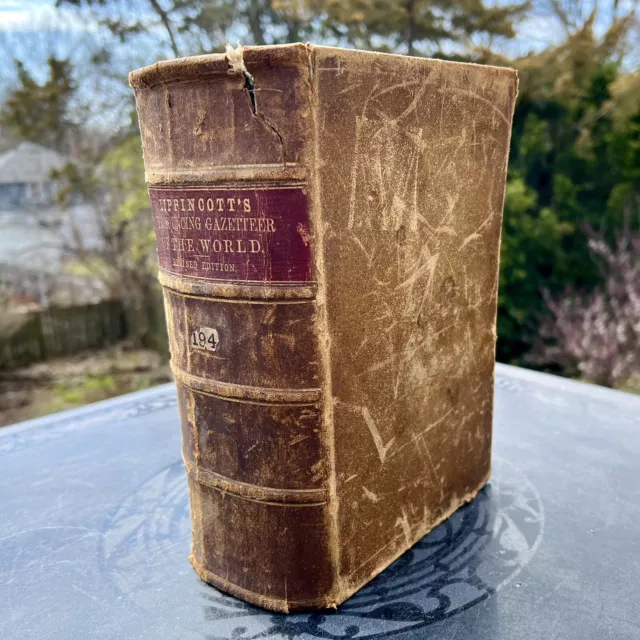
Antique Leather Bound 1866 Lippincott's Pronouncing Gazetteer of World Book
$129.95 Buy It Now 17d 3h
LESLIE’S Photographic Review of the Great War - 1920 WWI Europe Germans Russia
$18.00 Buy It Now 15d 2h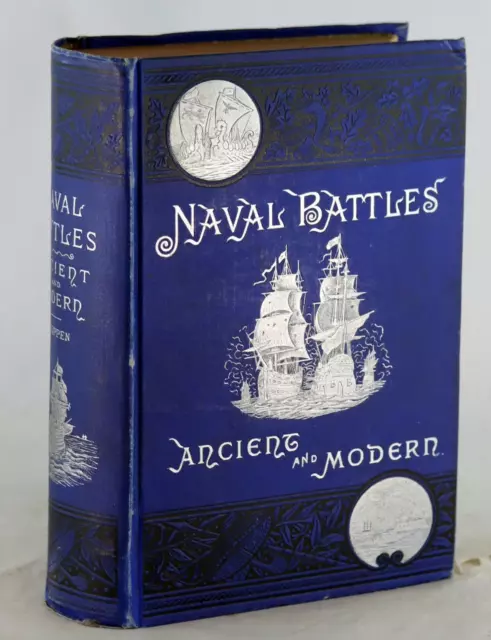
Edward Shippen 1st Ed 1883 Naval Battles Ancient and Modern Hardcover
$149.95 Buy It Now 16d 6h
Antique Personal Memoirs Of P.H. Sheridan | Volume I & II Set | 1888 | Webster
$159.00 Buy It Now 17d 1h
The Story Of Exploration And Adventure In Africa Prescott 1897 Altemus Ed.
$44.00 Buy It Now 20d 14h
Rare 1853 "Dictionary Of Greek & Roman Biography & Mythology" Coins Book (P8)
$198.45 Buy It Now 16d 9h
 Vintage Postcard Street Scene In Europe Post World War Ii Real Photo (Rppc) Kltd$19.14 Buy It Now or Best Offer

 Ingrid Bauer Black GI Children in Post-World War II Europe (Paperback)$81.92 Buy It Now
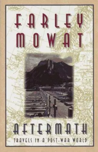
 Aftermath: Travels in a Post-War World by Mowat, Farley$7.96 Buy It Now
 1 watcher
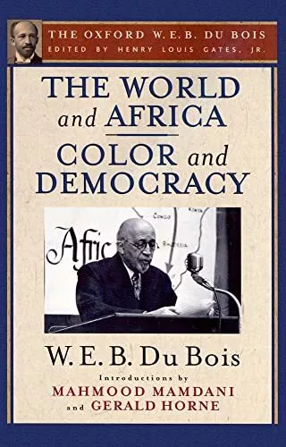
The World and Africa and Color and Democracy (The Oxford W. E. B. Du Bois)
$48.75 Buy It Now
 Czechoslovakia Since World War II by Tad Szulc (1971) Post WWII Europe
$70.91$53.19 Buy It Now
 Whitethorn: A Novel of Africa by Bryce Courtenay (Hardcover, 2005) Free Shipping$15.36 Buy It Now or Best Offer
For Kin or Country : Xenophobia, Nationalism, and War, Paperback by Saideman,...
$62.93 Buy It Now
Vintage 20Th Century Europe History Post-world war Book Lot
$53.35$32.01 Buy It Now or Best Offer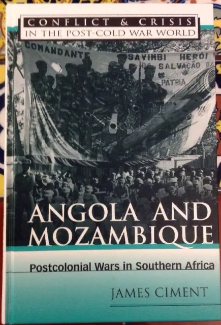 2 watchers
Conflict and Crisis in the Post-Cold War World: Angola and Mozambique 1997 HC
$30.03 Buy It Now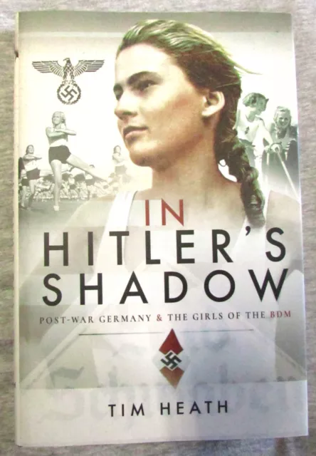 3 watchers
 IN HITLER'S SHADOW: POST-WAR GERMANY & GIRLS OF THE BDM by HEATH--HC/DJ/1st$37.62 Buy It Now
 Shaping Post-war Europe By Peter Stirk$26.06 Buy It Now
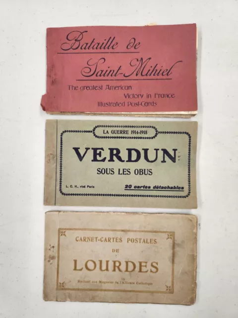
 Lot of 3 Antique Post Card Booklets from the The World Wars period in Europe$20.52 Buy It Now or Best Offer
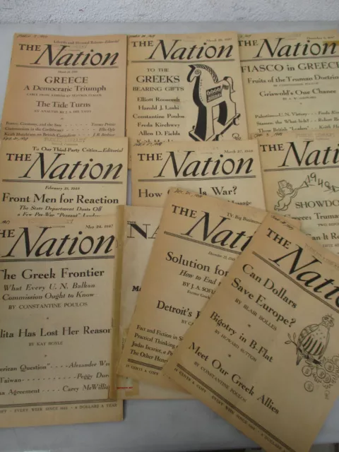 1 watcher
 Greece Politics Post World War 2 Cold War Civil Europe Nation Magazine Lot 1947$38.99 Buy It Now or Best Offer
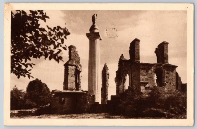
 Inauguration Postcard & Post~ WW1 American Monument~ Montfaucon, France$40.97 Buy It Now or Best Offer
10 POSTCARDS - EURO 2024 in Germany UEFA STADION FOOTBALL STADIUM ESTADIO
$54.70 Buy It Now or Best Offer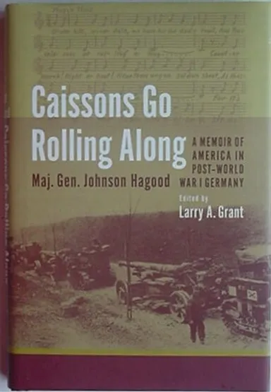
 America In Post World War I Germany (Major General Johnson Hagood) 2010 Book$17.78 Buy It Now
The World and Africa and Color and Democracy the Oxford W. E. B.
$45.66 Buy It Now 1 watcher
 The Frankfurt Kitchen: Forty-One Stories of Growing Up in Post-World War II West$14.61 Buy It Now

 THE INVENTION OF DECOLONIZATION: THE ALGERIAN WAR AND THE By Todd Shepard$20.45 Buy It Now
 George Padmore and Decolonization from Below: Pan-Africanism, the Cold War, and$178.65 Buy It Now
Uniting Europe : European Integration and the Post-Cold War World
$41.44 Buy It Now
1990 Military Biography Post World War II Africa HC DJ llust. 1st. 155pg
$34.19 Buy It Now or Best Offer 172 watchers
 Old Vintage Postcards Russian Empire And Post Empire Countrys Lot Mixed Eras$47.88 Buy It Now or Best Offer
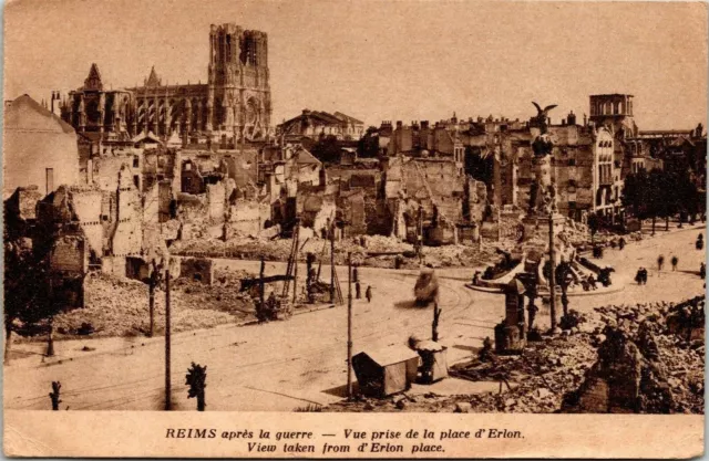
 Reims Cathedral Taken After The War WORLD WAR II View From Erlon Place Postcard
$41.04$26.26 Buy It Now or Best Offer

