1882 Original Double Page Map Of Minnesota Hand Colored
$89.51 Buy It Now or Best Offer, Click to see shipping cost, 30-Day Returns, eBay Money Back Guarantee
Seller:  475today ✉️ (6,442) 100%,
Location: Bolivia, North Carolina, US,
Ships to: US & many other countries,
Item: 122931022646
1882 ORIGINAL DOUBLE PAGE MAP OF MINNESOTA HAND COLORED. [25083] (Map -
Cartography - 19th Century - O.W. Gray - Minnesota). Original Double-Page Hand-Colored Map of Minnesota. Philadelphia, PA:
O.W. Gray & Son, 1882. One sheet, from the 1882 O.W. Gray National Atlas,
New York Edition: Map of Minnesota; with small inset Continuation of the North
East Portion of Minnesota; copyright date at lower margin of 1867 by G.W. &
C.B. Colton & Co. With original hand-coloring in pastel tones and border
outlining in red. Approx. 28 1/2" x 17 1/4" overall size; a little
even toning to edges of the paper, corner tips with little bends, in very good
condition.
NOTE: SHIPPED ROLLED FOR SAFETY
- Condition: PLEASE SEE DETAILS BELOW FOR COMPLETE DESCRIPTION.
- Type: STATE MAP
- Date Range: 1882
- Year: 1882
- Country/Region: United States of America
- Cartographer/Publisher: O.W. GRAY & SON
- Printing Technique: ENGRAVING
- Format: MAP
- Original/Reproduction: ORIGINAL
- US State: Minnesota
PicClick Insights - 1882 Original Double Page Map Of Minnesota Hand Colored PicClick Exclusive
- Popularity - 0 watchers, 0.0 new watchers per day, 2,274 days for sale on eBay. 0 sold, 1 available.
- Best Price -
- Seller - 6,442+ items sold. 0% negative feedback. Top-Rated Plus! Top-Rated Seller, 30-day return policy, ships in 1 business day with tracking.
People Also Loved PicClick Exclusive

1882 Original Double-Page Map New Jersey Hand Colored
$65.00 Buy It Now 8d 12h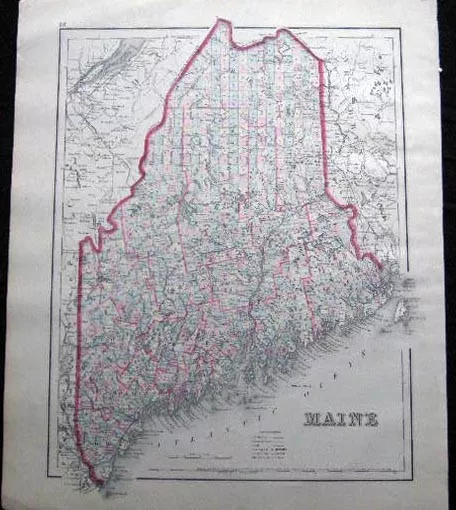
1882 Original Map Of Maine Hand Colored
$65.00 Buy It Now 8d 17h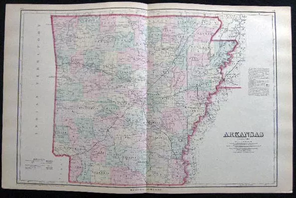
1882 Original Double Page Map Of Arkansas Hand Colored
$65.00 Buy It Now 8d 8h
1882 Original Double Page Map Of Alabama Hand Colored
$65.00 Buy It Now 8d 9h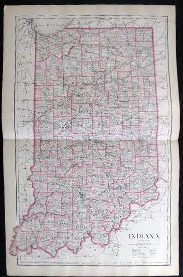
1882 Original Double Page Map Of Indiana Hand Colored
$65.00 Buy It Now 8d 7h 2 watchers
 Gaskell's Atlas Map Page Missouri And Minnesota 1888 Vintage$11.69 Buy It Now
 2 watchers
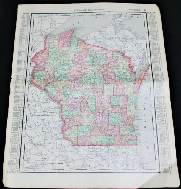
 Rand Mcnally Atlas Map Page Wisconsin & Minnesota 1895 Vintage$7.56 Buy It Now
 1 watcher
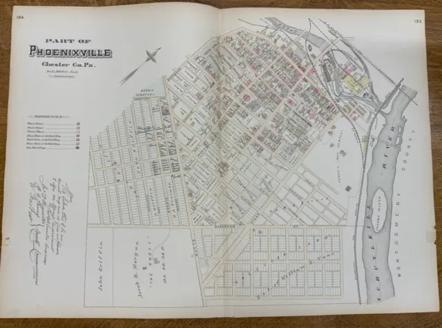
 C. 1880 Map Of Phoenixville (Part 1), PA Hand-Colored 20 x 28” Double-Page$34.36 Buy It Now or Best Offer
 1 watcher
 C. 1880 Map Of West Vincent, PA, Hand-Colored 20 x 28” Double-Page$34.36 Buy It Now or Best Offer
