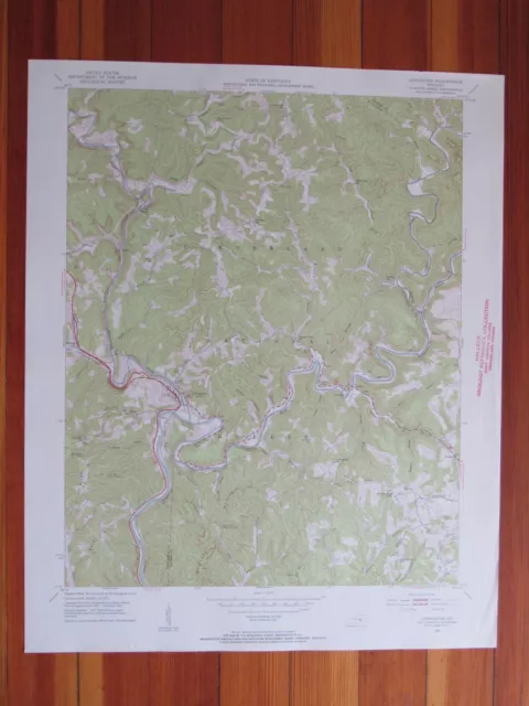
1932 USGS Topo Map BIG CLIFTY Kentucky Asphalt Mines Perryville Dyer Summit Limp

$31.66 Buy It Now, $20.09 Shipping, eBay Money Back Guarantee
Seller: Top-Rated Seller new_world_maps ✉️ (23,381) 100%, Location: Lake Worth, Florida, US, Ships to: WORLDWIDE & many other countries, Item: 224563868315 1932 USGS Topo Map BIG CLIFTY Kentucky Asphalt Mines Perryville Dyer Summit Limp.

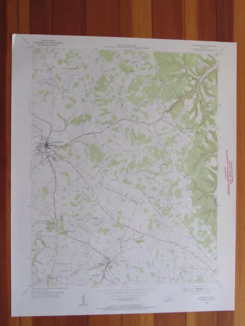
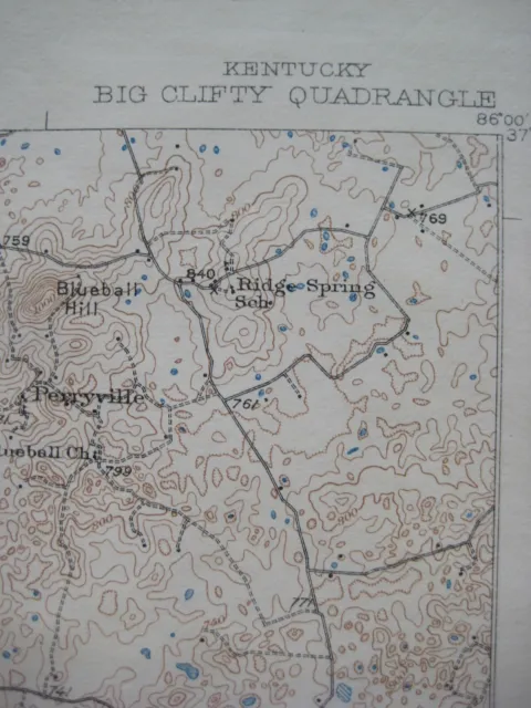
Genuine original color lithographed fold-out dissected topographical map of parts of Hardin, Breckenridge, and Grayson counties, in central Kentucky, printed more than 89 years ago.

  • This is the 1932 edition of the Big Clifty quadrangle, based on surveys in 1926 and 1928.
  • It is drawn on a scale of 1:62,500, with contour lines at 20-foot intervals, and shows roads, towns, churches, schools, railroads, and natural features, as well as individual homes and farms.
  • The coverage area is bounded by longitude 86°00' W to 86°15' W and latitude 37°30' N to 37°45' N.
  • There's fine detail throughout, and among the named places and features on the map are two rock-asphalt mines, Pleasant Grove School, Sutzer Lakes, Franklin Crossroads, Buzzard Cliff, Perryville, Laurel Ridge, Yates Chapel, West Clifty, the Illinois Central Railroad, Lambert Ford on the Nolin River, Tar Hill, Arch, Bland Knobs, Webb Mills, Harcourt, Leitchfield Road, Limp, Calverts Store, Selway, Eastview, White Mills, Meeting Creek Church, Wolf Hollow, and Sand Cave.
  • Both of the rock-asphalt mines located on this map ceased operations in the 1940s. The Crown Rock Asphalt Company in Big Clifty closed in 1940, and the Ohio Valley Rock Asphalt Company in Summit closed in 1946.
  • This map was published by the U.S. Geological Survey, Department of the Interior and is an original , authentic USGS topographic map, not a reproduction or modern reprint, fully guaranteed to be genuine. Overall size is approximately 21" x 17".
  • What gives this map an extra touch of allure is that it has been dissected and mounted on linen — to facilitate its use during research, so the folds would not wear when the map was opened and closed.
  • The dissection and mounting were done in a careful and professional manner for the Lithic Laboratory in Columbus, Ohio.
  • The Lithic Laboratory was established in January 1938 by the Ohio Historical Society for the study of stone tools and flint making by Native Americans in the eastern United States. The laboratory was to function for only a few years, being discontinued on the eve of World War Two, but it played a critical role in the history of modern stone-tool studies.
  • The images show the dissection, which leaves a gutter of space between the panels. Note that there is no missing information; the paper map was neatly cut into pieces and the pieces were slid slightly apart and mounted on linen.
  • The linen used for mounting the map has a soft cottony feel, further adding to the map's charm. It is a delight to hold it in your hands.
  • The map has been folded to approximately 8½" x 5½" and has a handwritten title on the verso, or reverse side, preserved with a slight brushing of varnish.
  • Condition:   It is in very good condition, bright and clean, with no rips, tears, or writing. It is an ex-library map, and there are old library markings in the margins, outside of the image area. Please see the scans and feel free to ask any questions.
  • Buy with confidence! We are always happy to combine shipping on the purchase of multiple items — just make sure to pay for everything at one time, not individually.

Powered by SixBit's eCommerce Solution
  • Condition: SEE BELOW FOR FULL DESCRIPTION. Very good condition, bright and clean, with no rips, tears, or writing. It is an ex-library map, and there are old library markings in the margins, outside of the image area. Please see the scans and feel free to ask any questions.
  • US State: Kentucky
  • City: Big Clifty
  • Date Range: 1930-1939
  • Format: Folding Map
  • Type: Topographical Map
  • Original/Reproduction: Antique Original
  • Country/Region: United States of America
  • Cartographer/Publisher: USGS
  • Printing Technique: Lithography
  • Year: 1935

PicClick Insights - 1932 USGS Topo Map BIG CLIFTY Kentucky Asphalt Mines Perryville Dyer Summit Limp PicClick Exclusive

  •  Popularity - 2 watchers, 0.0 new watchers per day, 983 days for sale on eBay. Good amount watching. 0 sold, 1 available.
  •  Best Price -
  •  Seller - 23,381+ items sold. 0% negative feedback. Top-Rated Plus! Top-Rated Seller, 30-day return policy, ships in 1 business day with tracking.

People Also Loved PicClick Exclusive