MAP of INDIAN TERRITORY in OKLAHOMA - Johnsons Cyclopedia 19th C
$34.36 Buy It Now, Click to see shipping cost, eBay Money Back Guarantee
Seller:  redlands66 ✉️ (6,634) 98.9%,
Location: Norristown, Pennsylvania, US,
Ships to: US & many other countries,
Item: 276349866481
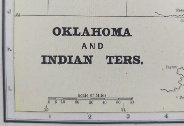
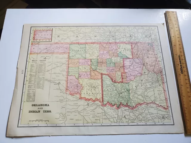
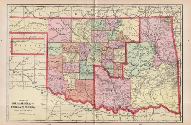
MAP of INDIAN TERRITORY in OKLAHOMA - Johnsons Cyclopedia 19th C. This old map of Oklahoma shows the Indian Nations within the State and is from Johnson's Cyclopedia, engraved on copper plate expressly for for this publication. Shown are the various Indian Nations. Measures 7 1/2" x 10 7/8". In good condition except for damage in the lower left. Please see the photos for details.
- Condition: See photos and description
- US State: Oklahoma
- Printing Technique: Copper Plate
- Cartographer/Publisher: Johnson
- Date Range: 1800-1899
- Type: Atlas Map
- Format: Atlas Map
- Year: 19th C
- Original/Reproduction: Antique Original
- Country/Region: United States of America
PicClick Insights - MAP of INDIAN TERRITORY in OKLAHOMA - Johnsons Cyclopedia 19th C PicClick Exclusive
- Popularity - 0 watchers, 0.0 new watchers per day, 53 days for sale on eBay. 0 sold, 1 available.
- Best Price -
- Seller - 6,634+ items sold. 1.1% negative feedback. Top-Rated Plus! Top-Rated Seller, 30-day return policy, ships in 1 business day with tracking.
People Also Loved PicClick Exclusive

Vintage 1896 OKLAHOMA INDIAN TERRITORY Map 14"x11" Old Antique Original SEMINOLE
$31.94 Buy It Now 12d 10h
19th Century Atlas Map Of Oklahoma & Indian Territory Native American Vintage
$12.00 Buy It Now 12d 7h
1898 Antique Cram Atlas Map Of Oklahoma & Indian Territory-United States
$9.95 0 Bids 6d 15h
1903 Oklahoma & Indian Territory Map Rand McNally & Co C343
$16.95 Buy It Now 2d 12h
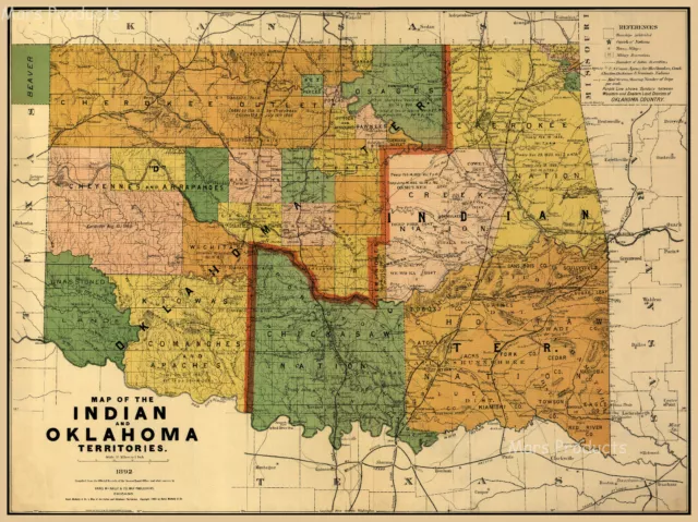
1892 Indian Territory Historic Vintage Style Oklahoma Wall Map - 18x24
$13.95 Buy It Now 11d 0h 2 watchers
 Oklahoma Indian Territory Tulsa Oklahoma City Muskogee 1887 Bradley-Mitchell map
$268.52$214.82 Buy It Now 2 watchers
 Texas & Oklahoma Indian Territory 1890 scarce folio Scribner-Black map
$309.84$247.87 Buy It Now 6 watchers
 Indian Territory Historic 1892 Vintage Style Oklahoma Wall Map 24x32$24.72 Buy It Now
 1904 Antique Map Of Texas Oklahoma Indian Territory New Mexico / Verso Mexico$38.97 Buy It Now or Best Offer


